
WABAUNSEE
 One of the first families to settle in this area after the territory was created was that of James and Hannah Bisby and their four children. They had come from Pavilion, New York with the fourth New England Emigrant Aid Company in the fall of 1854. Most of this party settled in the Manhattan vicinity. Wabaunsee is about 15 miles southeast of Manhattan. The Bisbys soon built a comfortable home and extended their hospitality to newly arrived emigrants and later to enslaved people seeking their freedom.
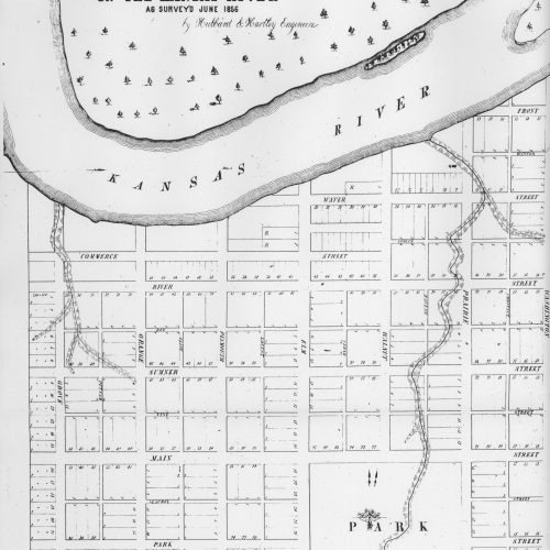
 James Bisby is credited with suggesting the name Wabaunsee for the town site that Peter Sharai had established in 1855 two miles north and one mile west of the Bisby home. It was on the south bank of the Kaw River several miles west of the Potawatomi Reservation. The Potawatomi homeland had been in the southern Great Lakes region and they had been forcibly moved to Indian Territory in the 1830s and 40s. Wabaunsee was a chief who had represented the tribe in treaty negotiations. He died before the tribe was moved to Kansas from western Iowa.
 A post office called “Wabonsa” was established in December of 1855. In April of 1856, the famous group of free state emigrants organized in New Haven, Connecticut known as the Connecticut Kansas Colony chose to settle in the Wabaunsee area. The congregation of Henry Ward Beecher’s Plymouth Church in Brooklyn, New York raised $625 to help arm the group to protect itself from proslavery border ruffians. Another member of his congregation donated Bibles and hymnbooks. Soliciting arms from the pulpit of a church and arming free state emigrants with superior weaponry created quite a controversy, and the press at the time began calling the colony “Beecher’s Rifle Colony”. This evolved into calling a Sharps rifle a “Beecher’s Bible”.
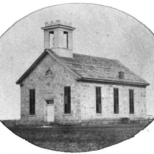
 The First Church of Christ at Wabaunsee was built by this community in 1861. It’s now called the Beecher Bible and Rifle Church and is listed on the National Register of Historic Places.
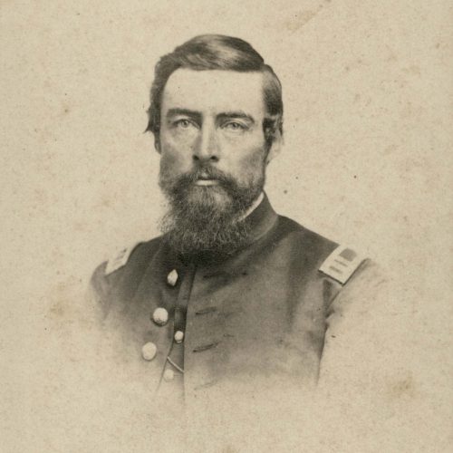
Its mission accomplished, the colony soon disbanded, merging with the earlier settlers to form the Wabaunsee Town Company. Soon after the colony arrived they formed a Militia called the Wabaunsee Prairie Guards, which was called up to help defend Lawrence when Colonel Buford’s South Carolina troops were threatening to destroy the town. They manned breastworks on Mount Oread for six weeks and fought alongside James Lane and John Brown in a number of skirmishes.
 Most accounts indicate that the Underground Railroad began running through Wabaunsee in 1857, after settlers had established adequate shelter for themselves and the border war had quieted down. Those known to have been involved were: J. M. and Hannah Bisby, Julius Willard, Austin and Maria Kelsey, Enoch and Sarah Platt, J. Evarts Platt, Charles and Maria Lines, Joshua and Mary Smith, John Smith, Samuel Weed, Amos A. Cottrell, Captain William Mitchell and his sister Agnes Mitchell.
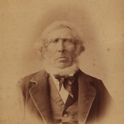
 The only original structure from this period still existing is the log cabin built by Captain William Mitchell in 1856. Today it is a private residence on the Mitchell farmstead across the road from Mount Mitchell. The attic of this log cabin served as a hiding place for freedom seekers (a second story was added later). One account relates that when it was safe, Mitchell would take the fugitives down the road to Joshua Smith‘s house, and his son John would take them across the river, probably at the “riffles” east of St. George. In another story, told to Mitchell’s son Will by his Aunt Agnes, “She told of their concealing eight run-away slaves in the attic of their cabin for a number of days, until they could be safely moved by father and a neighbor, Enoch Platt, to the next underground station of their escape route north.”
 The Mitchell log cabin remains as the living room of the house that grew around it. Its log floor joists, some with the bark still intact, can be seen in the cellar. A small plexi-glass window in the living room reveals the log walls and recently the logs on the south side of the cabin have been exposed in an enclosed porch.
After crossing the Kansas River “trains” either went through Manhattan and Juniata (Rocky Ford) or through Louisville, and on into Nemaha County sixteen miles east of Centralia. The route then joined the main branch of the Lane Trail and continued on to Falls City, and Nebraska City then across the Missouri River to Tabor, Iowa. At Iowa City, the eastern end of the Lane Trail, those seeking their freedom made their way through Illinois, Indiana and Ohio, on more established routes, eventually crossing into Canada at Detroit.